
The most remote and hilly section of the John Muir Way traverses the hills on the west coast of Scotland into the Loch Lomond and the Trossachs National Park. Crossing the Kilpatrick Hills, which offer a real taste of the Highlands on Glasgow’s doorstep, the route eventually flattens on a journey along former railway lines and canal towpaths.
Distance: 64.5 km
Ascent: 837 m
Download the GPX for Stage 1 for free (as ZIP)
Route Description
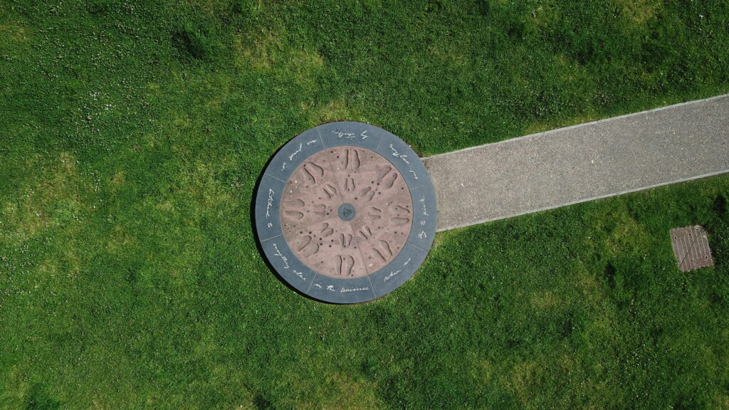
The John Muir Way starts at the waterfront in Helensburgh, marked by a seat made from Scottish oak and a circular stone plinth with engraved footprints and a John Muir quote. Helensburgh offers eateries and accommodation, as well as a good train connection from Glasgow or Edinburgh, with no prior bike reservations necessary. There is also free long term parking at the pier. The Hill House, from world-famous architect Charles Rennie Mackintosh is worth a stop, while the route follows through town and then on a cycle path along the Luss road, before it climbs on a well-maintained gravel road towards Gouk Hill. The views across Loch Lomond and the Trossachs National Park from the track and the top of the hill (a short detour) on a good day are great, before the route continues on a singletrack on Stoneymollan Road through the forest. Care is needed, and some sections require pushing, but the track soon turns into a tarmac road that descends into Balloch, which offers places to stay, a large shopping centre, supermarkets and a train connection to Glasgow.
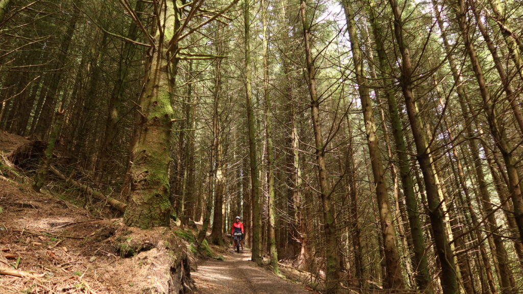
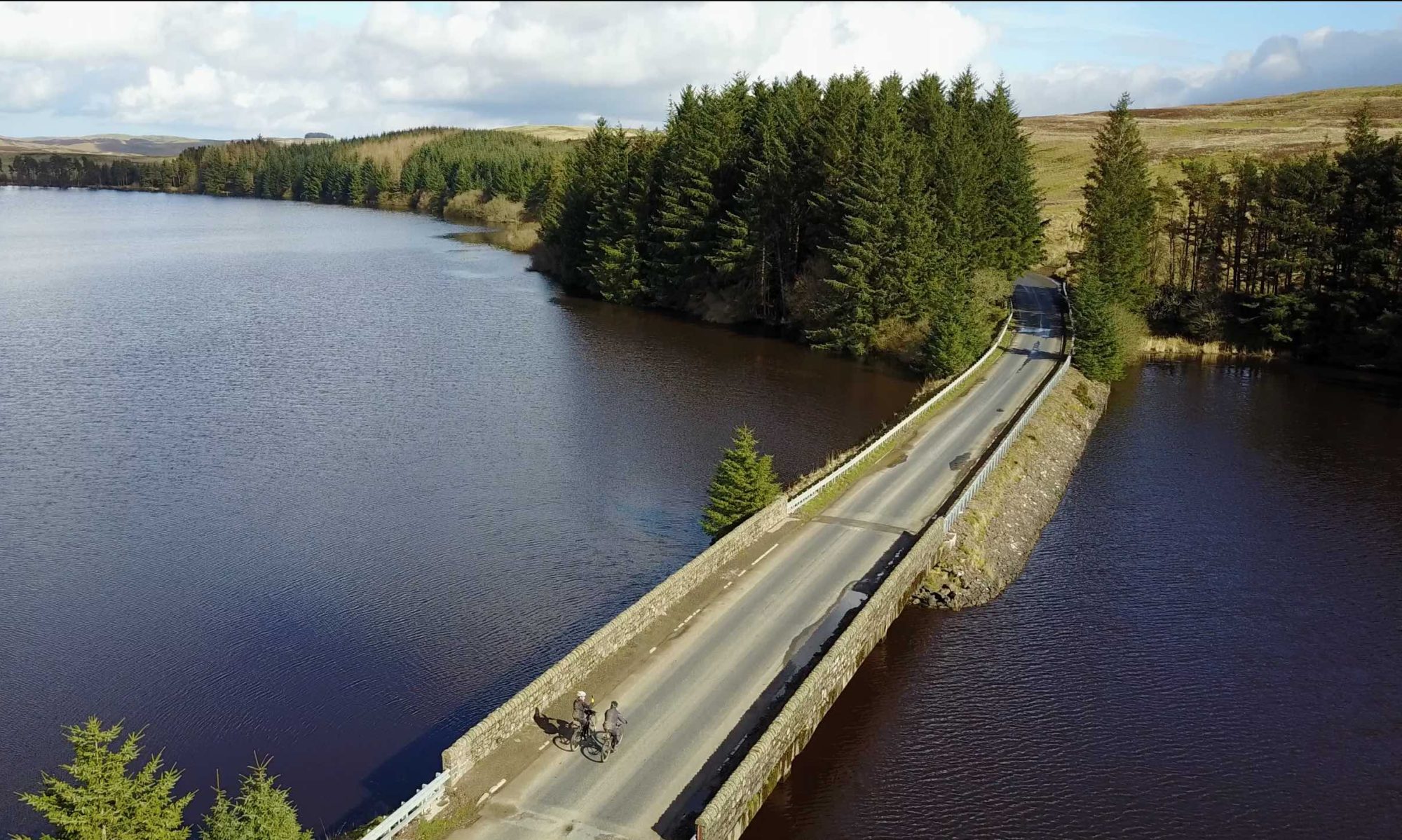
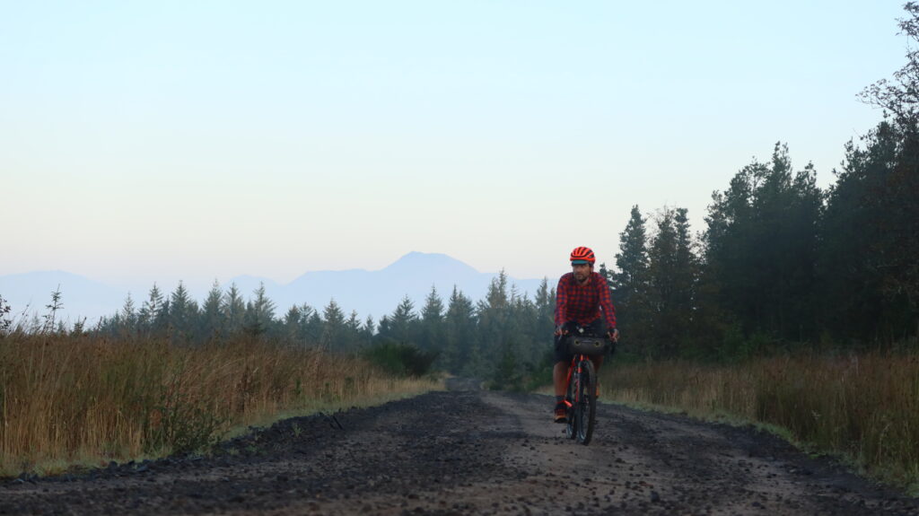
In Balloch the route follows minor roads and mixed use paths along the Loch Lomond shores before it crosses the River Leven and follows the river banks into Balloch Castle Country Park. After the park the route gradually climbs into the Kilpatrick Hills on minor roads, and after crossing the Cameron Burn the tarmac turns into gravel on the climb towards Burncrooks Reservoir. This section of the route feels very remote, and while the track along the reservoir is a fantastic section for more experienced off-road riders, it involves some steep climbs and descents where extra care is needed, or pushing the bike is advised. For a shortcut, the track on the eastern shore of Burncrooks Reservoir is a shorter and flatter alternative, but care is needed on the initial descent to the reservoir from the signpost. After Burncrooks Reservoir a wider gravel track turns into tarmac soon, and passes Edenmill Farm, where accommodation and a cafe can be found.
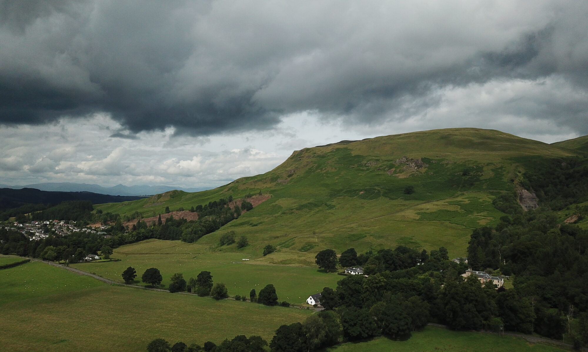
Shortly after Edenmill Farm the route follows a short section of Stockiemuir Road, and then crosses Carbeth Hill on a mixture of gravel tracks and paths, before descending on Gowk Stane Road into Strathblane. The small town offers accommodation, places to eat and shops, before the route follows Strathkelvin Railway Path. This tarmac cycle path offers great views towards the Campsie Fells and Dunglass on clear days, passing through Lennoxtown and Milton of Campsie, which both offer shops and cafes for stops. In Kilsyth the route joins a mostly paved towpath along the Forth and Clyde Canal, passing Twechar and the Roman Fort at Bar Hill. Auchinstarry Marina hosts a great eco-pub with food and rooms, and provides the opportunity to leave the bike and walk up either Croy or Bar Hill for the sunset. Those are historical monuments, so cycling is not advised here.

Train stations along this section of the route: Helensburgh, Balloch, Croy (near Auchinstarry)